45.03 S-charl - Süsom Givè, National Park Panorama Trail
Medium
18.1 km
5:45 h
739 mhd
390 mhd
![Nationalpark Panoramaweg Etappe 3: S-charl – Süsom Givè [SchweizMobil-Nr. 45] Nationalpark Panoramaweg Etappe 3: S-charl – Süsom Givè [SchweizMobil-Nr. 45]](/sites/all/files/styles/hero_detailpage_small_2x/shared/discover.swiss/images/img_4kq_jggfdef.jpg?h=804eb763)

Show all 4 images

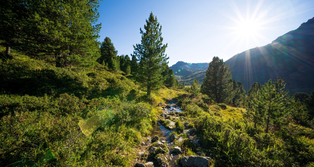
From the mountain village of S-charl through the highest pine forest in Europe to the Ofen Pass.
Best Season
Jan
Feb
Mär
Apr
Mai
Jun
Jul
Aug
Sep
Okt
Nov
Dez
Start
S-charl
Destination
Sta Maria
Coordinates
46.715673, 10.334929
Details
Description
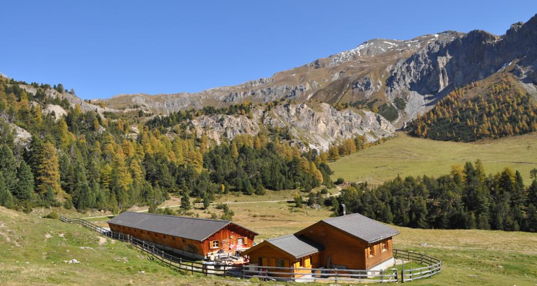
We hike through the picturesque Val S-charl past Alp Astras up to Pass da Costainas. From there the route runs over Alp Champatsch past Alp da Munt in the region's small but fine ski area – «Minschuns». The last stretch to the Ofenpass offers a breathtaking view over the Val Müstair.
Geheimtipp
Route leads through Italy, carry identity cards.
Sicherheitshinweis
The tour was assessed in favourable weather conditions, it is imperative that the current weather conditions and weather forecasts are observed before starting the tour.
Emergency call:
144 Emergency call, first aid
1414 Mountain rescue REGA
112 International emergency call
On high sections, snowfields are possible until the summer months.
Ausrüstung
Good footwear, rain and sun protection, water bottle, food, bandages.
Directions
Public Transport
- By Rhaetian Railway (from Chur, Landquart/Prättigau or from the Upper Engadine) hourly to Scuol-Tarasp station.
- By PostBus (from Martina, Sent, Ftan or Tarasp) hourly service to Scuol-Tarasp station.
- Continue by PostBus with hourly connection to the PostBus stop S-charl
Arrival information
- From the north: via Landquart - Klosters by car transport through the Vereina Tunnel (Selfranga - Sagliains) or via the Flüela Pass to Scuol and then into a side valley of the Lower Engadine. The summer village of S-charl can be reached from Scuol in around 25 minutes.
- From the east: via Landeck / Austria in the direction of Scuol and then also turn into the side valley Val S-charl.
Due to the sometimes narrow road conditions, we recommend travelling by post bus.
Parken
Paid parking available at the entrance to the village
Responsible for this content Tourism Engadin Scuol Samnaun Val Müstair AG.
This content has been translated automatically.

This website uses technology and content from the Outdooractive platform.
