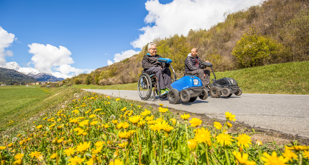
Via a l'En (Rollstuhl) [SchweizMobil-Nr. 706]

![Via a l'En (Rollstuhl) [SchweizMobil-Nr. 706] Via a l'En (Rollstuhl) [SchweizMobil-Nr. 706]](/sites/all/files/styles/hero_detailpage_small_2x/shared/discover.swiss/images/img_4kq_dfaffdha.jpg?h=0d27ee61)
Show all 3 images

The Innweg connects Scuol and Sur En. Surrounded by an impressive mountain panorama, the route leads along Engadine meadows. Constant companion on the way: the roaring Inn.
Details
Description
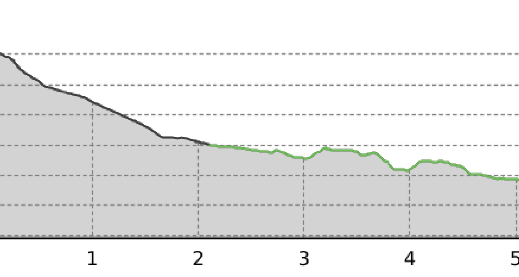
The start is at the PostBus stop "Scuol, Serras". The route begins on an asphalt road that winds through the meadow landscape on the left side of the river. In Pradella, where the path changes sides, the scenery changes. The right side of the river is wooded. A dirt road now leads directly next to the Inn to Sur En. It offers an exciting backdrop that alternates between dense forest and small clearings. In summer, the trees offer cooling from the blazing Engadine sun. Via a L'En means to German Innweg. The river is the central element of the hike. Particularly pleasant: The path runs steadily downhill and there are only short climbs to overcome.
Sicherheitshinweis
The tour was evaluated in favorable weather conditions, the current weather conditions and weather forecasts must be observed before the tour starts.
emergency call:
144 Emergency call, first aid
1414 Mountain rescue REGA
112 International emergency number
Directions
From Scuol along the paved road to the power plant in Pradella. Here the path crosses a bridge and plunges into the forest. From Pradella to Sur En, the trail runs along a forest road. From Sur En to the PostBus stop at the campsite, the path is paved again.
Directions
Public Transport
By Rhaetian Railway (from Chur, Prättigau or Upper Engadine) or by PostBus (from Martina, Sent or Tarasp) every hour to Scuol-Tarasp station
By local bus from Scuol-Taraso train station to the Scuol Serras bus stop
Arrival information
From the north: via Landquart – Klosters by car transport through the Vereina tunnel (Selfranga - Sagliains) or over the Flüela Pass into the Lower Engadine on H27
From the east: via Landeck / Austria in the direction of St. Moritz on H27
From the south: via Reschenpass (Nauders-Martina) or Ofenpass (Val Müstair-Zernez) on H27
Parken
Responsible for this content Tourism Engadin Scuol Samnaun Val Müstair AG.
This content has been translated automatically.

This website uses technology and content from the Outdooractive platform.