On the road with Géraldine.
Hike to the Macun Lakes
The Macun Lakes, called «Lais da Macun» in Romansh, were one of my hiking goals for the year 2020. Right at the beginning of September, the time had come and together with friends I set off in the direction of Zernez. We decided to travel by public transport, which was very comfortable and allowed us to be flexible with regard to the hiking route. From Zernez we made use of the shuttle service and were driven to the forest border. This saved us the first two hours of hiking.
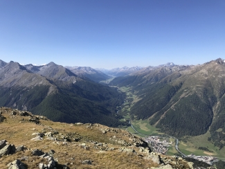
From here we continued on foot – first on a wider field path, then further on the hiking trail. The path zigzags for about one and a half hours until it reaches a vantage point at 2682 m. This hilltop turns out to be the first highlight of the tour. Because from here you have a fantastic view towards the Ofen Pass and on the other side into the Upper Engadine. A steep passage is already waiting at our backs, so we take another short break.
The trail then continues towards the summit. Here you need to be especially sure-footed, because the initial hiking trail quickly turns into a scree of larger stones. The trail is well signposted and in difficult places equipped with a chain to hold on to. This section of the trail is steep and strenuous, but what awaits you at the end makes you forget all about it.
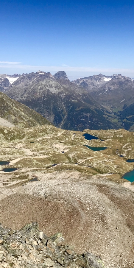
The view from the summit of «Munt Baselgia» is unique. Our gaze is directed towards the wide lake plateau of Macun, the pyramid of Piz Arpiglias, the chain of Piz Macun and the dark shape of Piz Nuna. From the east, the Ofen Pass area greets you with the Italian Ortler massif as its conclusion. To the south, the mighty Bernina group cannot be overlooked, while to the west the Sarsura glacier shows itself. Here we take another break and simply enjoy the view of the mountain world around us.
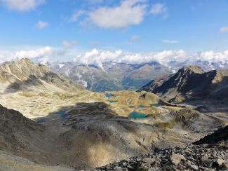
For a longer rest, however, we are driven a little further, near the lakes. We hike for about 30 minutes down towards Lavin. Here, too, there are some very stony sections, so caution is advised. As we are now in the area of the Swiss National Park, we seek out the enclosed rest area and fortify ourselves for the descent.
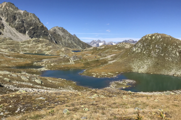
The way down is either direct or via a loop between the lakes. We choose the latter, which only adds half an hour to the hiking time and leads us to a dark blue mountain lake, the Lai dal Dragun (Dragon Lake).
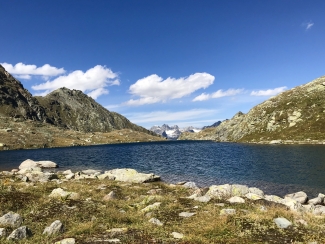
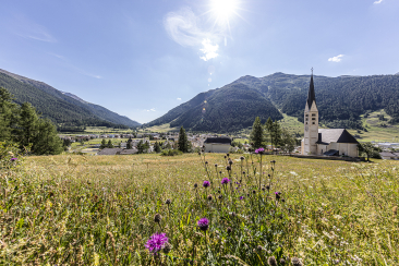
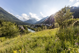
From here we descend on easily hikable paths, past Alp Zeznina (1958 m a.s.l.) and continue on a wider path through the forest to Lavin. For the descent we still need about three hours, calculated from the last lake. So the joy is great when we arrive in Lavin and tackle the last ascent to the station. Tired, but fascinated by this tour, we board the train and look forward to the end of this beautiful summer evening.
Important to know:
- Arrival: by train and shuttle bus
- Duration: approx. 6 hours hiking time
- Equipment: hiking boots, warm clothing, sun and rain protection, binoculars recommended, picnic
