On the road with Sophia.
Royal Tour to the Macun Lakes
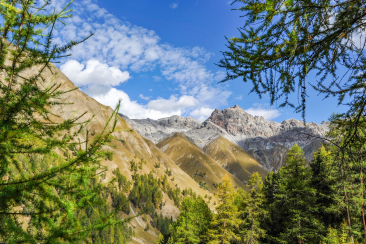
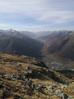
Autumn is coming, the days are getting shorter - all the more important to set off early. With a hiking time of 8 hours, the Senda Lais da Macun is probably one of the most demanding day hikes in the Swiss National Park and accordingly I plan enough time for it. But getting up early is worth it: the autumn sun slowly rises over the surrounding mountains and bathes the forest above Zernez in warm morning light. The further I walk up the idyllic forest path, the rarer the deciduous trees become and are replaced by spruces and finally the picturesque larches in their golden autumn dress and, one floor below, the bright red cranberries and bearberries. After about 2 hours I suddenly don't see any more trees, the timberline has been reached: time for a first break. I continue past avalanche barriers through the landscape, which is steppe-like at this time of year, to the first vantage point, Munt Baselgia. The view reaches far up into the Upper Engadine and down into the Lower Engadine, the sun begins to warm up - a magical autumn day announces itself. One of those days of which you know that there won't be many more like it this year. All the more reason for me to enjoy this very day.
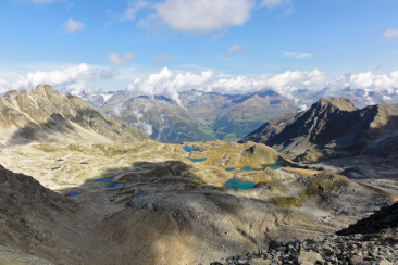
After Munt Baselgia, the ground changes abruptly and you climb over rock and scree towards the ridge. As if from nowhere, 2 bearded vultures appear in the air and circle, carried by the thermals, directly above the hiking trail. Although the spot is not exactly a picnic spot, I pause to admire the majestic birds. With a wingspan of almost three metres, the bearded vulture is the undisputed king of the Alpine sky. Formerly known as the lammergeier, it is now a welcome resident of the National Park. After a few circles, the animals disappear behind the next rocky ridge. I also make my way, albeit far less elegantly, to the highest point of the hike, which is soon reached. From here there is a fantastic view of the deep blue Macun lakes and the sugared Silvretta region on the other side of the Lower Engadine.
This point also marks the boundary to the Swiss National Park - from here onwards, bikes, dogs and drones are strictly prohibited. Other protective regulations must also be observed, as nature should be able to unfold undisturbed.
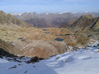
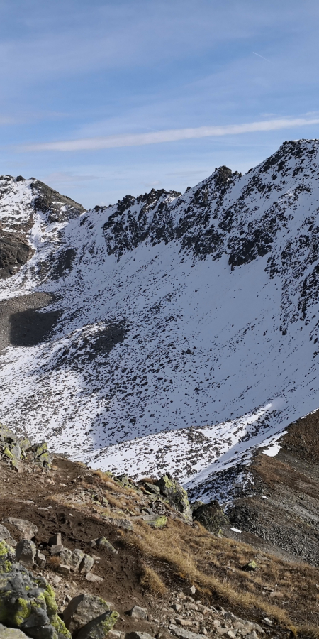
Here too, at just under 3000 metres, the approach of winter can already be felt: on the north side of the ridge, the last precipitation has also left a thin white blanket of fresh snow. I enjoy the view for a while and then take the narrow ridge path to Fuorcletta da Barcil. The path down to the plateau is snow-covered and therefore very slippery. I descend carefully and slowly until I feel solid ground under my feet again. At Lai d'Immez, it's high time for a lunch break - as the high plateau is part of the Swiss National Park, you are not allowed to leave the designated rest area. Strengthened, I now have to decide whether I should hike directly across the high plateau or make a loop to the Lai da la Mezza Glüna and the Lai dal Dragun. Because today is one of those golden autumn days that invite you to enjoy them to the fullest with their warming sun and good visibility, I finally decide on the second option. The landscape reflects breathtakingly beautifully in the mirror-smooth lakes, there is absolute silence: now, at the latest, all thoughts come to rest.
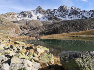
After I've had a good look at all the lakes - swimming is strictly forbidden - I set off on the descent towards Lavin. On the western slope I soak up the last rays of sunshine of the day before descending into the shady Val Zeznina and the alp of the same name. The open plain now gives way again to the increasingly dense coniferous forest, it gets cooler. Surprisingly quickly, the 1600-metre descent is behind us and the Mediterranean-looking town of Lavin appears at the bottom of the valley. After more than 20 kilometres and almost 8 hours of hiking, I reach the end of this uniquely beautiful tour and can recommend every step of it. I can say with a clear conscience that I have enjoyed this autumn day to the fullest - now the winter can come.
Tip: At Lai d'Immez there is a designated rest area that is good for a midday break.
Sophia Bartolomei
Important to know
- Arrival: By RhB from the Lower or Upper Engadine to Zernez.
- Duration: approx. 8 hours hiking time
- Distance: 22 kilometres
- Ascent/descent: 1600m/1600m
- Difficulty: T3
- Alternative: The trail can be hiked in both directions, but is more scenic from zernez to Lavin
- Equipment:
- Sturdy hiking boots, possibly hiking pols
- Warm and weatherproof clothing
- Sun protection
- Sufficient drinking water and food (there are no refreshment stops along the way)
- Emergency first-aid kit
- Important notice:
- The Macun like district is part of the Swiss National Park. There is therefore an absolute ban on walking.
- In some places there is no mobile phone reception: Therefore memorise the route wellor have an offline map ready.
