Ardez - Chamonna Cler – Muot da l'Hom – Munt – Ardez (Circular Route)
Medium
15.5 km
6:15 h
1051 mhd
1051 mhd
Chamonna Cler
Chamonna Cler

Show all 5 images

Hoch über Munt d'Ardez
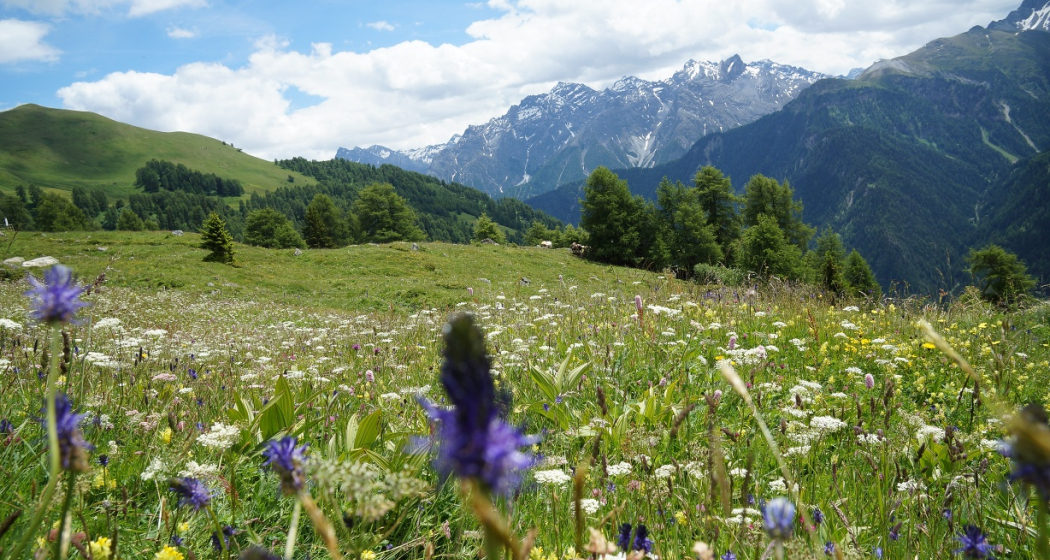
Easy mountain hike through the forest and over alpine meadows. Impressive view of the Engadine Dolomites and Piz Linard.
Technique /6
Fitness 3/6
Highest Point  2482 m
Lowest Point  1432 m
Best Season
Jan
Feb
Mär
Apr
Mai
Jun
Jul
Aug
Sep
Okt
Nov
Dez
Start
Ardez train station
Destination
Ardez train station
Coordinates
46.773641, 10.200994

Details

Description

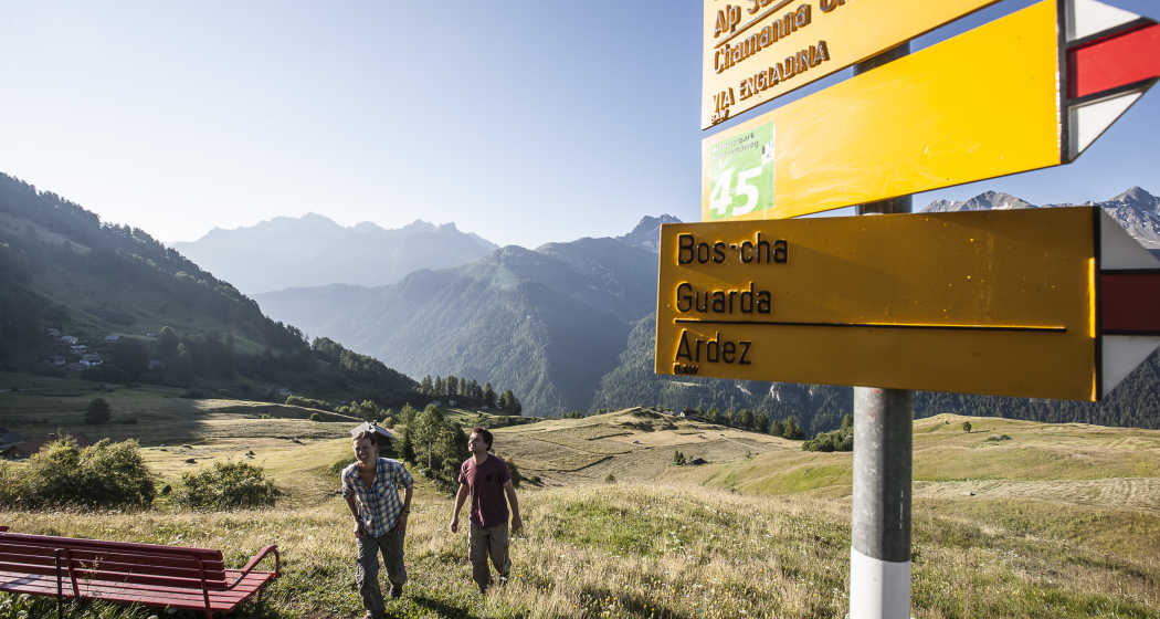
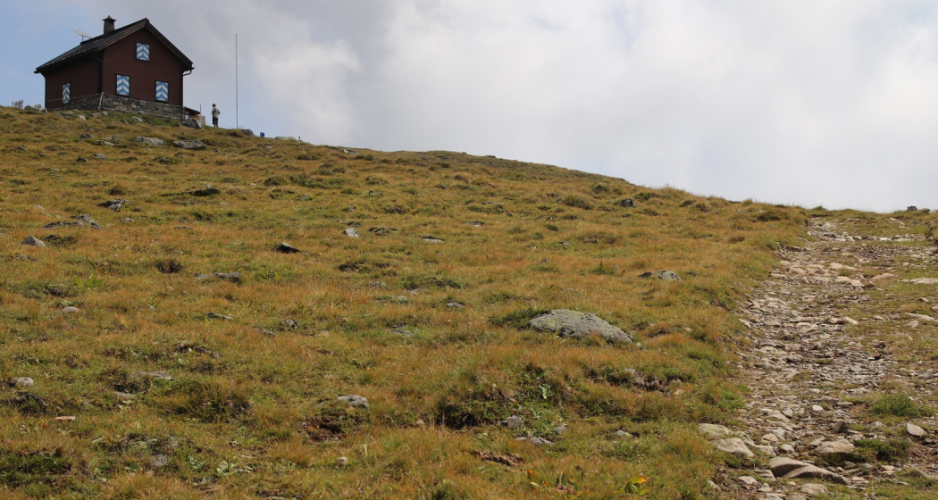
From Ardez train station, the hike leads through the centre of the village to the Pradè junction. Here the path climbs up to Murtera Dadoura. Turn right toward Maranguns, where you can enjoy the extensive views of the three thousand metre peaks on the opposite side of the valley and the side valleys of the Lower Engadine, Val Zeznina, Val Nuna and Val Sampuoir.  Ardez, Bos-cha and Sur En d'Ardez can be seen in the valley, while from a certain height the view to the south reveals some of the 20 or so mountain lakes of Macun in the National Park. From Maranguns, you ascend the last stretch – with a recommended detour via Lai Ruduond – to Chamonna Cler, the highest point of the hike. The descent over the south-east ridge of Piz Cotschen to Muot da l'Hom provides vistas from Scuol to Susch. Via Mundaditsch, you continue your descent to the end point of the hike back to Ardez.

Geheimtipp

Schellen-Ursli film locations: opening credits and alp

The Schellen-Ursli film begins on Lai Raduond as Uorsin runs up the slope with the goats and the camera pans upward to show the panorama of the Lower Engadine mountain scenery.

The summer alp is the Murtera Dadoura Alp, which lies east of Alp Sura. For the film a backdrop was added. The picture in the film does not correspond to the actual alp as you see it now.

All filming locations of the Schellen-Ursli film can be found here.

Sicherheitshinweis

The tour has been assessed in favourable weather conditions, it is imperative that current weather conditions and weather forecasts are taken into account before starting the tour. This hike requires elementary alpine experience, orientation skills, hiking boots are recommended.

Emergency call:

144 Emergency call, first aid

1414 Mountain rescue REGA

112 International emergency call

Ausrüstung

Good shoes, rain and sun protection, water bottle, first aid kit

Directions

From Ardez to the Predé crossroads

Follow the road to Murtera Dadoura

Turn right to Maranguns

Ascent to Chamonna Cler

Descent via the south-east ridge of Piz Cotschen to Muot da l'Hom

Via Muntaditsch and Chöglias to Ardez

Directions

Public Transport

  • With the Rhaetian Railway (from Chur, Prättigau or Upper Engadine) hourly to Ardez station.

Arrival information

  • From the north: via Landquart - Klosters by car transport through the Vereina Tunnel (Selfranga - Sagliains) or via the Flüela Pass into the Lower Engadine on H27.
  • From the east: via Landeck / Austria in the direction of St. Moritz on H27
  • From the south: via Reschenpass (Nauders-Martina) or Ofenpass (Val Müstair-Zernez) on H27

Parken

  • Paid parking at Ardez railway station

Responsible for this content Tourism Engadin Scuol Samnaun Val Müstair AG.
This content has been translated automatically.

Outdooractive Logo

This website uses technology and content from the Outdooractive platform.