On the road with Chantal.
Hike to the Mot Madlain
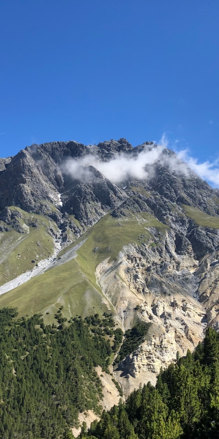
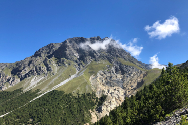
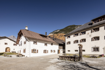
The Mot Madlain has been on my «to-do list» every year since I first went up there. On a Sunday morning in July, it was time again. The mountains in Scuol were still in thick fog, but the forecast was good and so I decided to take the route. The car ride leads from Scuol towards San Jon and on to S-charl. There is a large car park in front of the village, which is an ideal starting point for this hike. From the car park you can already see it standing mightily in front of you – the Mot Madlain.
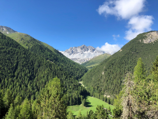
The hiking trail leads me and my dog Aiko past the houses on «Chomps» and further into the forest. Most of the ascent is in the forest, which makes it pleasant on warm summer days. The path winds up in zigzags and between the trees you can always get a nice view of the surrounding valleys. The fog disappears and the blue sky gains the upper hand more and more.
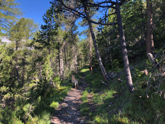
Always following the red and white markings, the trail slowly becomes steeper. Other paths cross my trail regularly. These paths still exist from the times of mining, which was practised in S-charl until the 18th century. As soon as the tree line is reached, the path leads over the last pine trees and over stones up to Mot Madlain. Looking up to the sky, I see two eagles circling above me – no wonder, their eyrie is right in the steep face at Mot Madlain. Impressive birds!
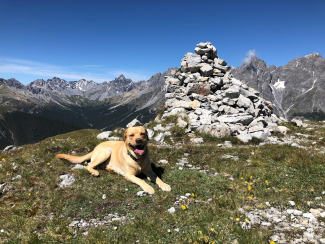
After almost two hours I reach Mot Madlain. At first glance I think, wow, an edelweiss. At the second glance I stop counting, because all around me the beautiful alpine flower is in bloom. I take a break and enjoy the view of the surrounding valleys of Marangun Sesvenna, Alp Plazer and Cruschetta, the Val Tavrü and also Mot Tavrü – a dream!
Important to know:
- How to get there: by car (parking spaces available for a fee) or by public bus
- Duration: approx. 3.5 hours hiking time
- Equipment: hiking boots, warm clothing, sun and rain protection, binoculars recommended
- Tip for dog owners: Since there is no stream or lake along the entire trail, you should not only take something to drink for yourself, but also for your dog. He will thank you for it.
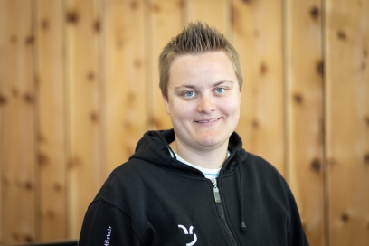
Chantal Mayor
Chantal Mayor grew up in S-charl and has been working as an event manager at the Engadin Samnaun Val Müstair holiday region since 1 May 2019. Besides swimming, her favourite pastime is going for walks with her dog Aiko.
