443.02: Fimber Pass – Val d'Uina – Reschen Pass: Sent – Schleis / Mals

Difficult
28.4 km
6:45 h
1239 mhd
1617 mhd
Show all 13 images
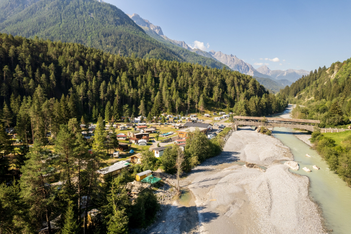
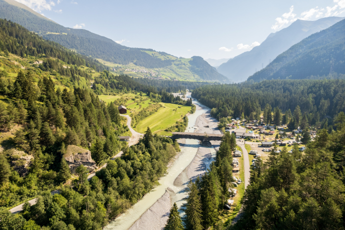
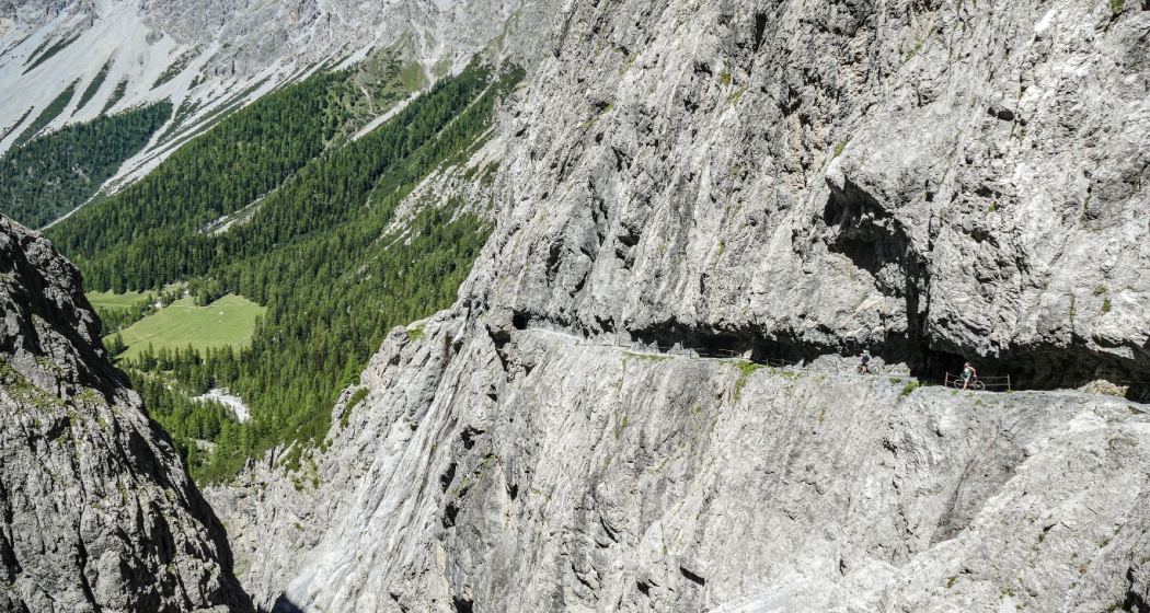
The second stage of route 443 leads through the spectacular gorge of «il Quar» in Val d'Uina.
Best Season
Jan
Feb
Mär
Apr
Mai
Jun
Jul
Aug
Sep
Okt
Nov
Dez
Start
PostBus stop Sent, Plaz
Destination
Mals/Malles train station
Coordinates
46.816938, 10.337616
Details
Description
This stage starts in the Engadine village of Sent. The highlight of the tour is the impressive Uina Gorge with its spectacular rock path. But beware, for safety reasons you have to descend briefly on this short section through the rocks and push the bike.
On the Schlinig Pass you then cross the Italian border and are rewarded with a long descent through the Schlinig Valley.
Geheimtipp
The Val d'Uina is a spectacular rocky gorge in the Lower Engadine and served, among other things, as a filming location for the Schellen Ursli film.
Sicherheitshinweis
The tour was evaluated in favourable weather conditions, current weather conditions and weather forecasts must be taken into account before starting the tour. This tour requires a high degree of riding safety, balance and technical riding skills.
The section at the rock path "il Quar" is an obligatory pushing passage. The narrow path is not secured in this area and does not allow riding!
Emergency call:
144 Emergency call, first aid
1414 Mountain rescue REGA
112 International emergency call
Consideration for hikers
Most of the mountain bike routes in Graubünden run on single trails that are also signposted as hiking trails. Hikers always have the right of way.
Ausrüstung
Helmet, gloves, good shoes, glasses, rain and sun protection, water bottle, repair kit, first aid kit
Directions
- Start at the PostBus stop Sent, Plaz.
- On the main road in the direction of Sur En
- Cross the Inn over the wooden bridge
- Turn right after the bridge
- Follow road into Val d'Uina
- Schlinigpass
- Sesvenna hut
- Schlinig valley
- Mals
Directions
Public Transport
- By Rhaetian Railway (from Chur, Landquart/Prättigau or from the Upper Engadine) hourly to Scuol-Tarasp station.
- By PostaBus (from Martina, Ftan or Tarasp) hourly to Scuol-Tarasp station.
- Continue by PostBus to the PostBus stop Sent, Plaz.
Arrival information
- From the north: via Landquart - Klosters by car transport through the Vereina Tunnel (Selfranga - Sagliains) or via the Flüela Pass into the Lower Engadine on H27.
- From the east: via Landeck / Austria in the direction of St. Moritz on H27
- From the south: via Reschenpass (Nauders-Martina) or Ofenpass (Val Müstair-Zernez) on H27
- Sent can be reached in 5 minutes by car from the Engadin road H27 near Scuol as well as Sur En (25 minutes drive from Veraina south portal).
Parken
- Paid parking spaces at the western (multi-storey car park) and eastern entrance to the village (below the cemetery)
Responsible for this content Tourism Engadin Scuol Samnaun Val Müstair AG.

This website uses technology and content from the Outdooractive platform.
