23.02 Heidelberger Hütte DAV - Samnaun, Senda Scuol - Samnaun
Medium
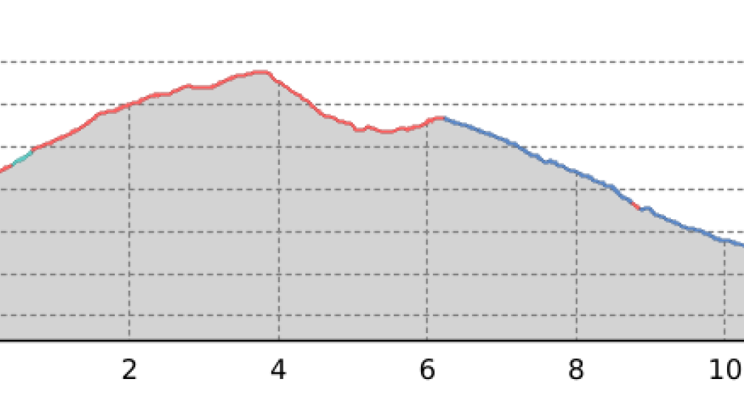
11.8 km
9:10 h
555 mhd
994 mhd


Best Season
Jan
Feb
Mär
Apr
Mai
Jun
Jul
Aug
Sep
Okt
Nov
Dez
Start
Heidelberger Hütte DAV
Destination
Samnaun
Coordinates
46.909876, 10.259769
Details
Description
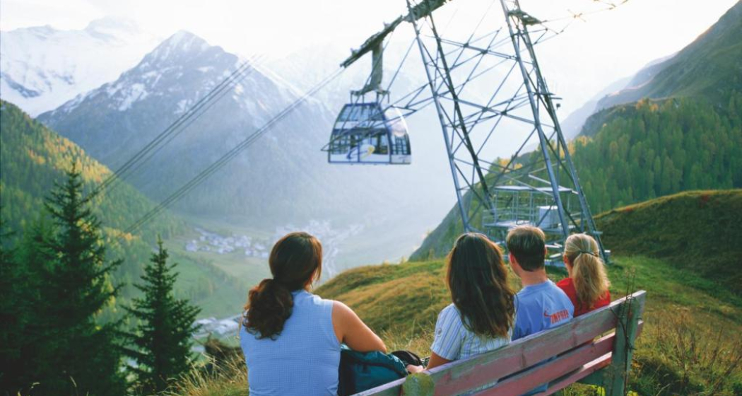
Scree slopes and a detour to Austria are the hallmark of the upper section of this stage. You then reach duty-free Swiss soil and descend through a varied landscape with glacier residue, waterfalls and meadows to Samnaun.
Geheimtipp
The hike can be simplify by public transport.
Sicherheitshinweis
On high-altitude sections, snowfields are possible until the summer months.
Responsible for this content Tourism Engadin Scuol Samnaun Val Müstair AG.
This content has been translated automatically.

This website uses technology and content from the Outdooractive platform.