Natèas Bike: Motta Naluns – Natèas – Ftan – Scuol [SchweizMobil-Nr. 447]
Medium
17.9 km
3:00 h
1200 mhd
1300 mhd


Show all 6 images

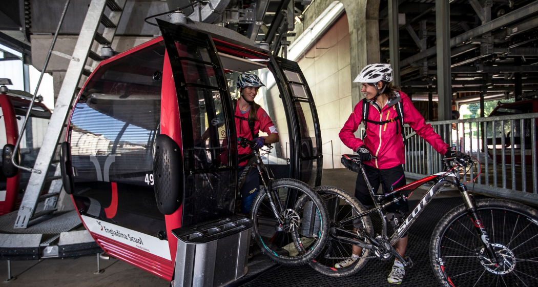
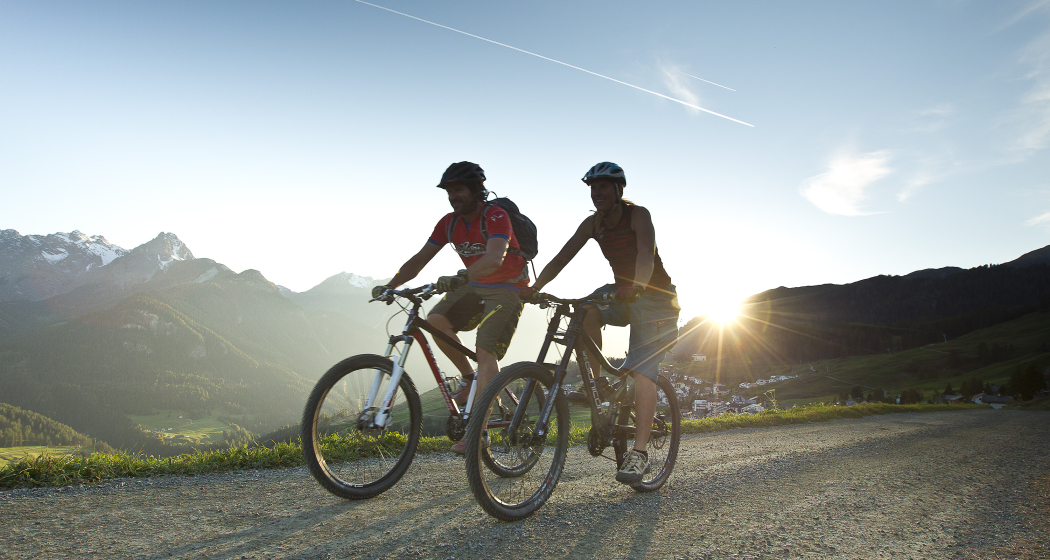
A mountain railway ascent, an exciting downhill run with a 1000-metre difference in elevation and a picture-book panorama: this is what awaits bikers on the route from Motta Naluns, Scuol's local mountain, via Natéas and the picturesque village of Ftan back to Scuol.
Best Season
Jan
Feb
Mär
Apr
Mai
Jun
Jul
Aug
Sep
Okt
Nov
Dez
Start
Motta Naluns valley station
Destination
Motta Naluns valley station
Coordinates
46.795315, 10.288773
Details
Description
The cable car takes bikers comfortably from Scuol to Motta Naluns at an elevation of 2156 metres. Enjoy the splendid view of Tarasp and the Engadine Dolomites from the south-facing panoramic terrace, before the first steep descent follows. It leads down to Salez on a trail built especially for bikers. Then a short counter-climb along a dirt road to Natéas follows. Here the next, varied descent already awaits you: on single trails down to Nischöl and via Clarai through the forest to the well-known HIF Swiss International School and Sports Academy, through the centre of the village in Ftan Grond and on to the Pitschen district. Bikers enjoy a wonderful view over Scuol to Piz San Jon and Piz Lischana as well as over the Tarasp Castle to the prominent Piz Pisoc, the highest point in the Swiss National Park. At the end of the downhill run we again reach the valley station of the mountain railways and the train station in Scuol.
Sicherheitshinweis
The tour was evaluated in favourable weather conditions, current weather conditions and weather forecasts must be taken into account before the start of the tour. This tour requires a certain level of driving safety and technical skills.
Emergency call:
144 Emergency call, first aid
1414 Mountain rescue REGA
112 International emergency call
Directions
Ascent (transfer) with cable car to Motta Naluns - single trail to Salez - connection to hiking trail Prui - Natèas - single trail to Muntatsch - Arsüra - Ftan - Scuol (Route 444)
Directions
Public Transport
By Rhaetian Railway or PostBus to Scuol Tarasp station
Arrival information
- Take the car transport through the Vereina tunnel (Selfranga - Sagliains). Then another 20 minutes to Scuol.
- Over the Flüela Pass from Davos to Susch (only in summer) and on to Scuol.
- Via Landeck / Austria in the direction of St. Moritz. Scuol is directly on the Engadine road.
Parken
At the valley station of the Motta Naluns cable cars
Responsible for this content Tourism Engadin Scuol Samnaun Val Müstair AG.
This content has been translated automatically.

This website uses technology and content from the Outdooractive platform.